|
New Orleans City Park (Images of America) |
|
|
1850 - McDonough Leaves the Land to the City |
||
|
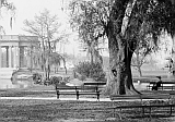
 McDonogh died in 1850 – much of his bequest was used to build schools but a portion of his property was
set aside for the park. The 4th District Court's 1854 designation of approximately 100 acres of the property as a public park
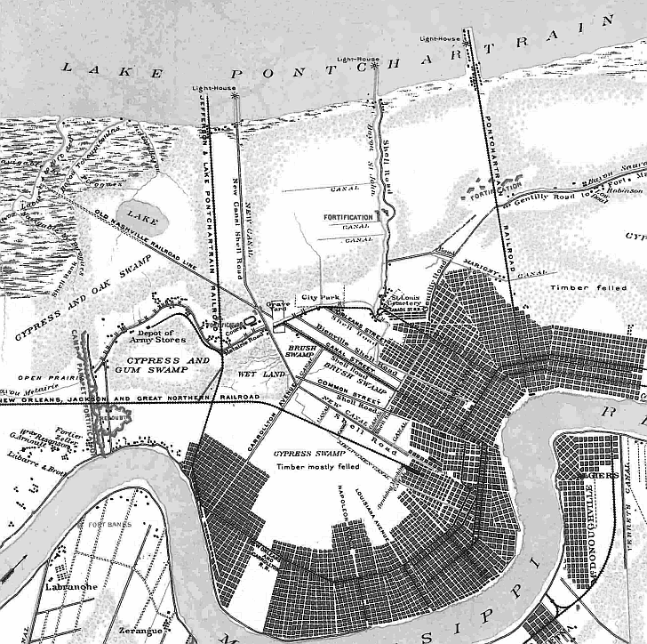
makes it one of the oldest in the nation This 1863 map shows City Park in the center, relatively isolated from the city. : :
|
|
|
The images in this book appear courtesy of the New Orleans Public Library (NOPL), Louisiana Digital Library (LDL), the Library of Congress (LOC), The Historic New Orleans Collection (HNOC), Pictometry International (PI), and D.C. "Infrogmation" May (DCM). Unless otherwise noted, images are from the author's collection.
|
||