|
New Orleans City Park (Images of America) |
|
|
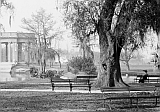
Bayou St. John |
||
|
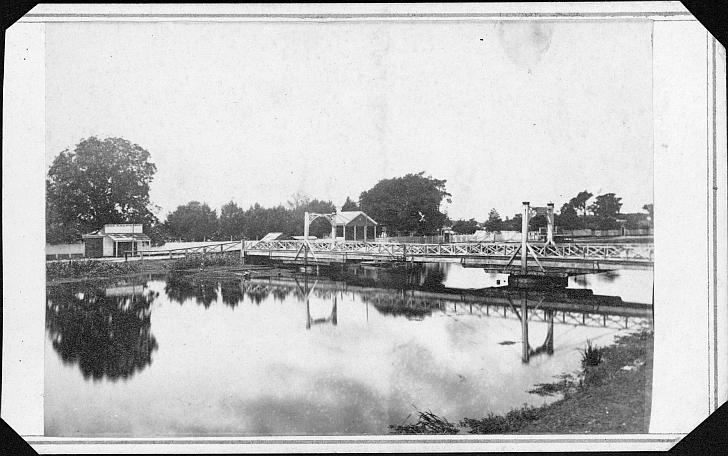 The bridge cited by Gayarré (pictured here circa 1864) was located at what is now the park entrance at Esplanade
and Lelong Avenue. Below is a 1728 map depicting Grand Bayou de S. Jean (Bayou St. John), the oaks, and the “winding
path [Chemin] made by the Indians...[which] ran through a thick forest, and connected the Indian village with the French settlement
of New Orleans” (LDL). : :
|
|
|
The images in this book appear courtesy of the New Orleans Public Library (NOPL), Louisiana Digital Library (LDL), the Library of Congress (LOC), The Historic New Orleans Collection (HNOC), Pictometry International (PI), and D.C. "Infrogmation" May (DCM). Unless otherwise noted, images are from the author's collection.
|
||