Lake Pontchartrain (Images of America)

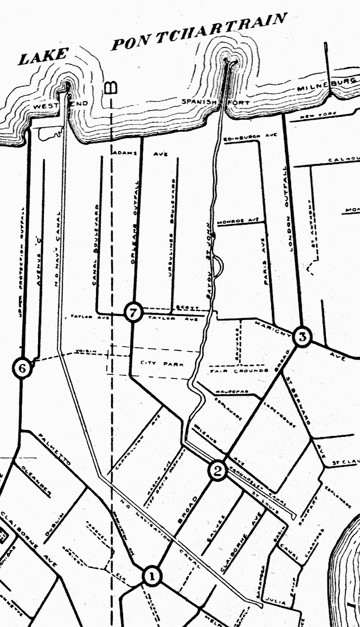
1838 - New Basin Canal

LakePontchartrain/WE1838.gif

The opening of the New Basin Canal to West End in 1838 (and its famous shell road) allowed the area to thrive as an additional resort and entertainment area. This 1919 map shows the new canal (labeled N.O. Navigation Canal) as well as the older Carondelet Canal which led to Bayou St. John.  Adams Avenue (which can be seen running near the shoreline) would become Robert E. Lee Boulevard and West End, Spanish Fort, and Milneburg whould be set far back from the lake after land was reclaimed during the 1920s and 1930s.


Other books by Catherine Campanella:

Excerpts from New Orleans City Park (Images of America)

Home
Introduction
The Beginning
Milneburg
West End
Back to the Bayou
Lighthouses
Literature
Jazz
Change
War and Peaceful Pursuits
Life on the Lake
Photo Gallery
Acknowledgments
More Lake Pontchartrain History

Pages Recommended by Your Friends:

A portion of the proceeds from the sale of this book is dedicated to the Lake Pontchartrain Basin Foundation's efforts to rebuild the historic New Canal Lighthouse.

Contact Catherine Campanella