Lake Pontchartrain (Images of America)

1924 Map

LakePontchartrain/MilneburgDevelopment.jpg

This 1924 map detail includes the streets of town of Milneburg which was on the lakeshore before land reclamation projects during the 1920s and 30s. According to one account, in 1839 the town of Milneburg consisted of a few houses, the Washington and Arch Hotels, a grocery, two barrooms and a bakery. (Courtesy New Orleans Public Library.)

LakePontchartrain/1924Map.gif

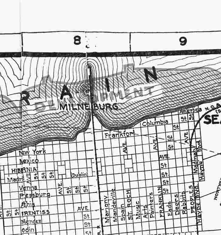
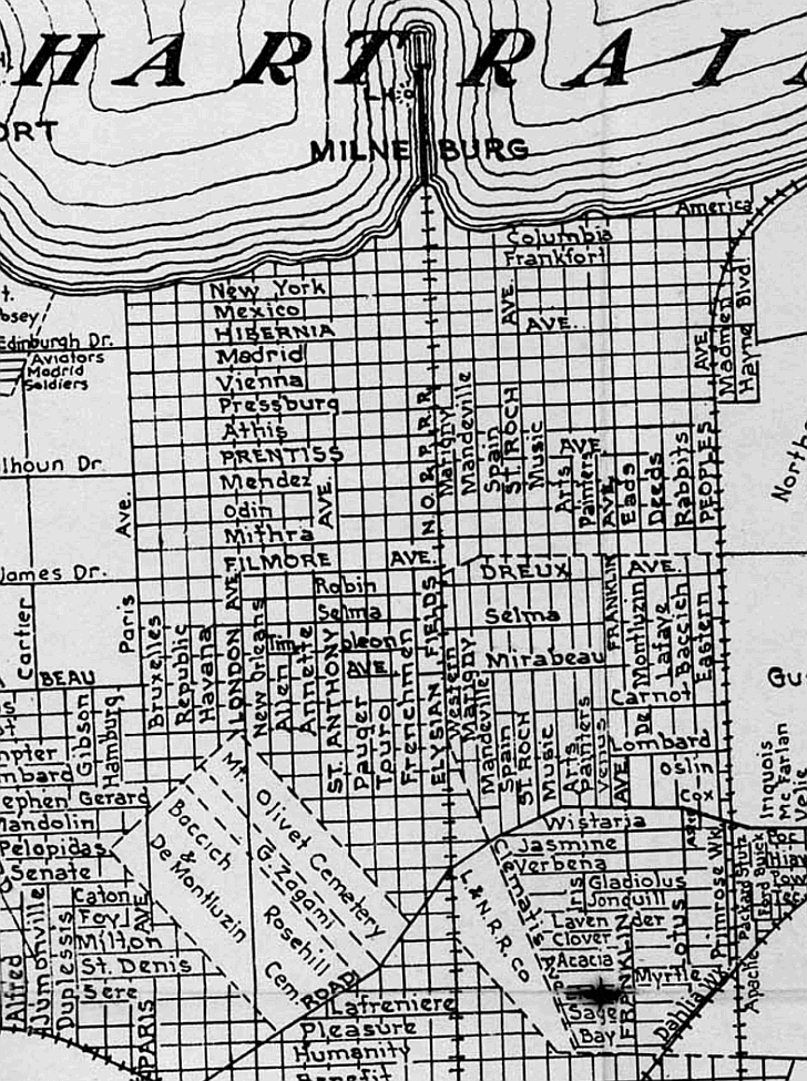
This older map shows Milneburg before plans were made for land reclamation.


Other books
by Catherine Campanella:

Excerpts from New Orleans City Park (Images of America)

Home
Introduction
The Beginning
Milneburg
West End
Back to the Bayou
Lighthouses
Literature
Jazz
Change
War and Peaceful Pursuits
Life on the Lake
Photo Gallery
Acknowledgments
More Lake Pontchartrain History

Pages Recommended by Your Friends:

A portion of the proceeds from the sale of this book is dedicated to the Lake Pontchartrain Basin Foundation's efforts to rebuild the historic New Canal Lighthouse.

Contact Catherine Campanella