|
Lake Pontchartrain (Images of America) |
|
|
|
Change |
|||||||||||||||||||||||||||||||||||||||||||||||||||||||||||||||||||||
|
|
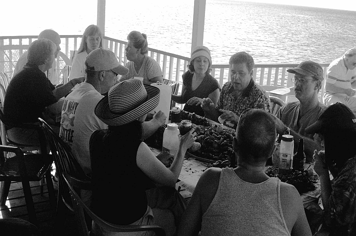
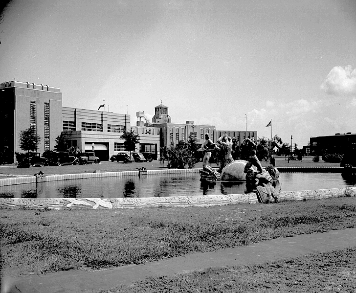
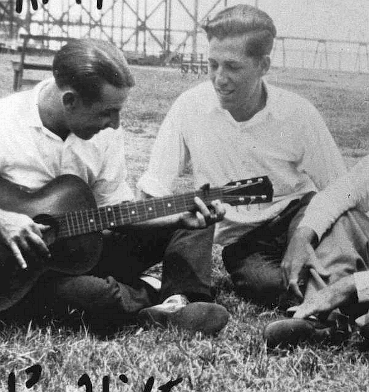
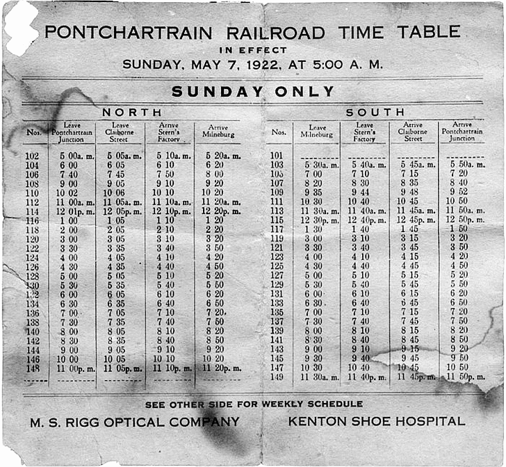
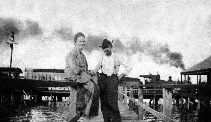
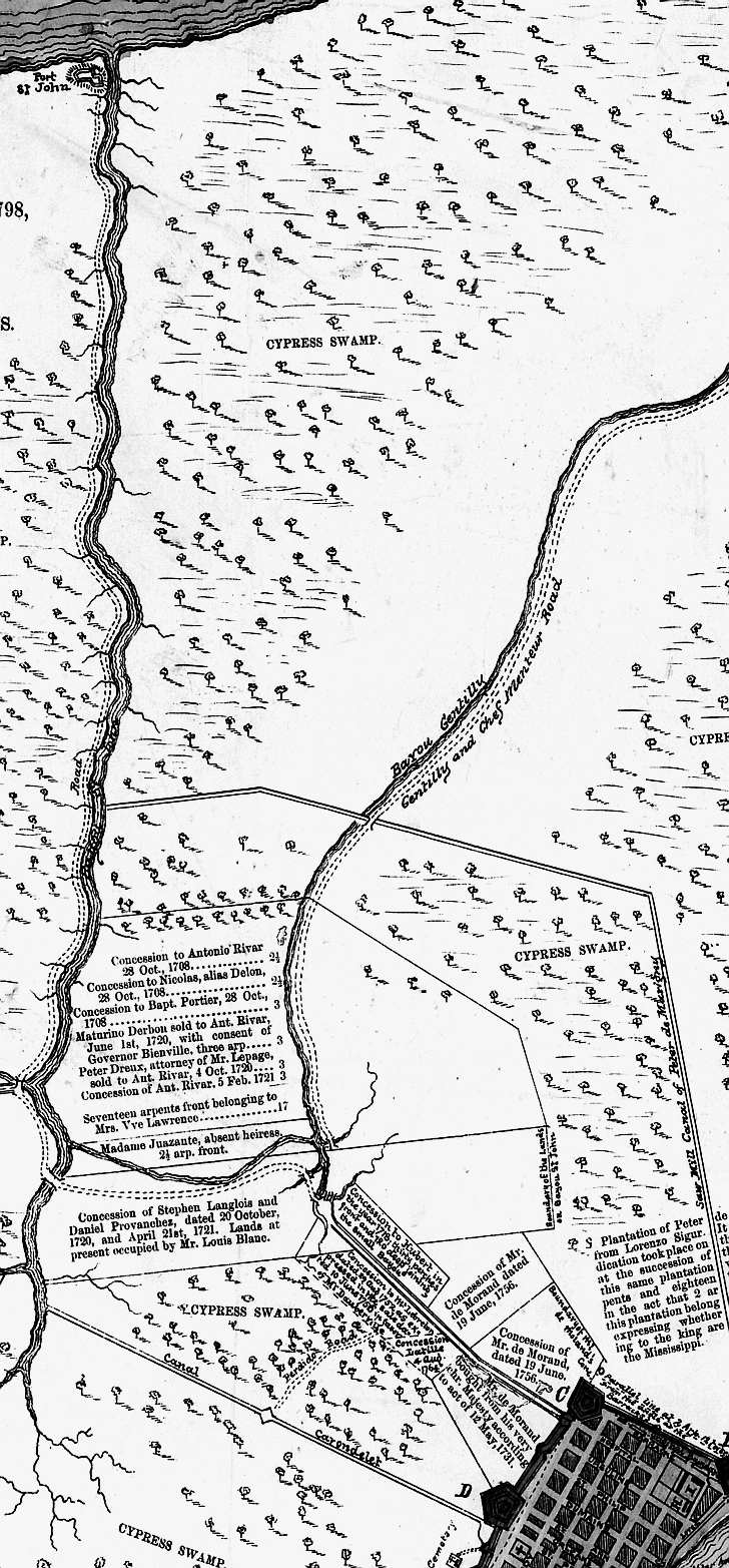
The 1920’s and 1930’s
brought tremendous change to the shores of Lake Pontchartrain, much of it still visible today. The long time quest to connect
the lake with the river was accomplished on a grand scale with the completion of the Industrial Canal (also known as the Inner
Harbor Navigation Canal). Although the lake’s value as a shipping channel and port waned during the end of the 19th
century because huge modern ships could not navigate its shallow bottom, the U.S. Army Corps of Engineers designed the canal
which opened in 1921. It was five and one half miles long with a depth of 30 feet, terminating at the lake in the eastern
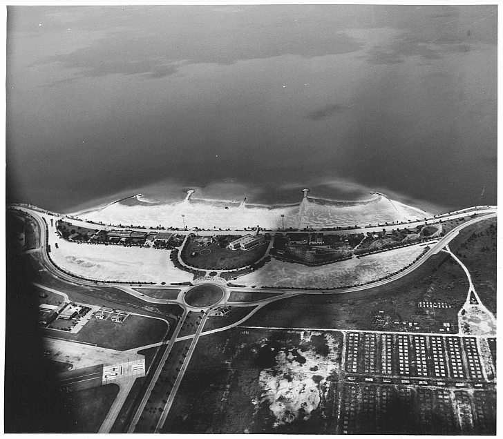
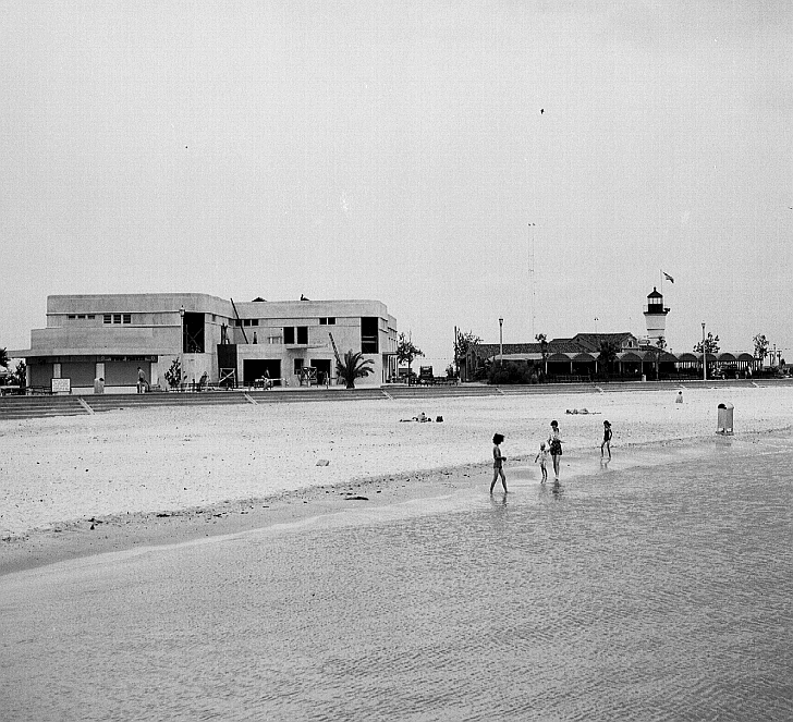
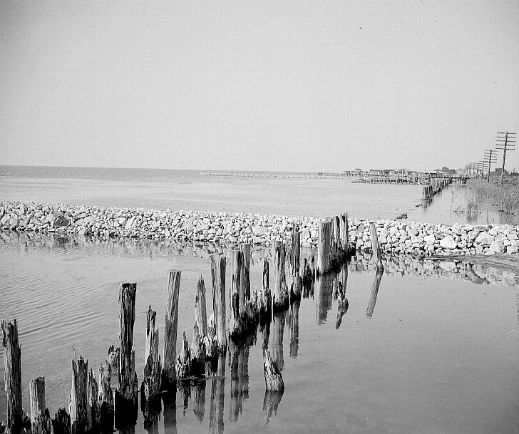
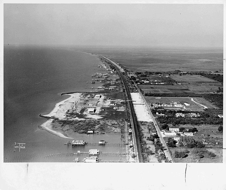
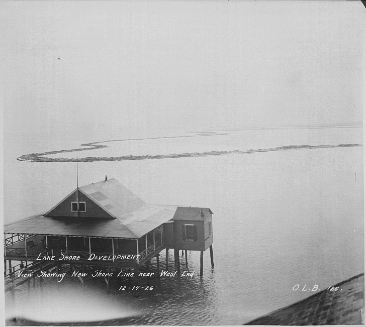
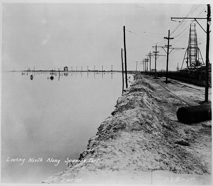
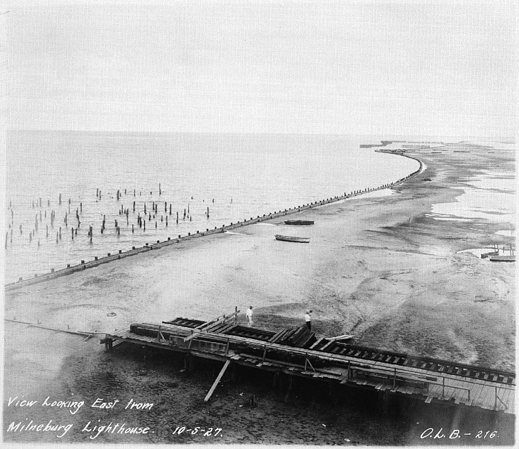
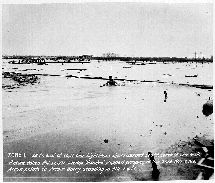
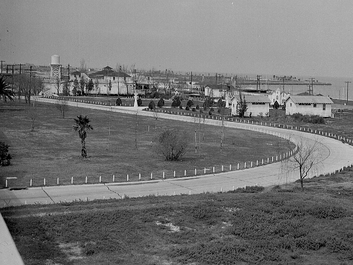
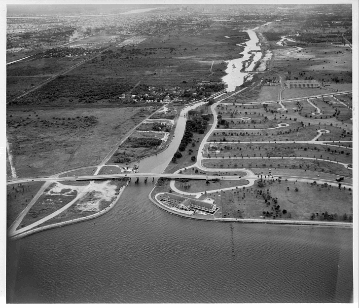
section of the city near what would later become the Shushan (now Lakefront) airport. Massive land reclamation
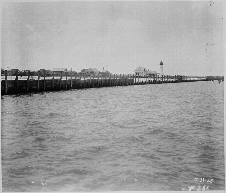
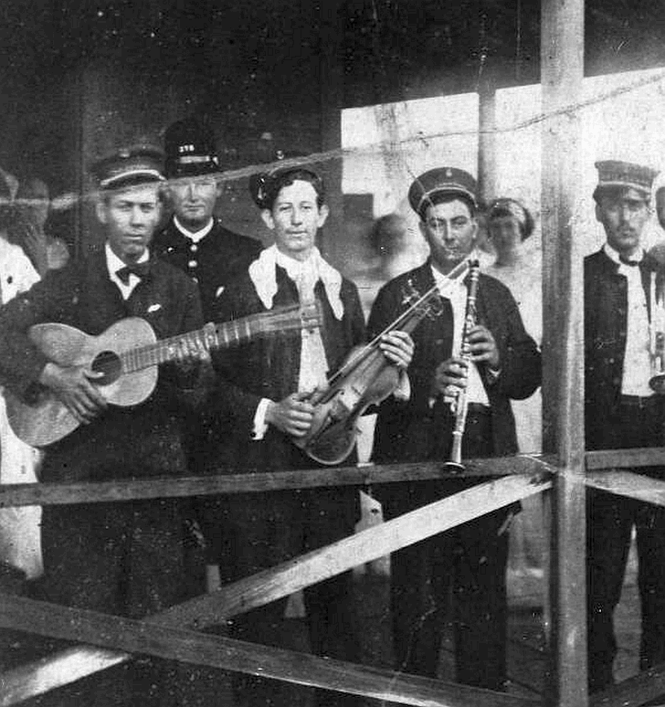
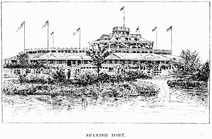
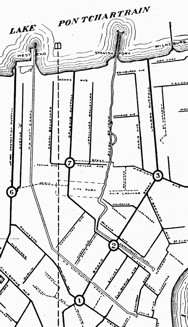
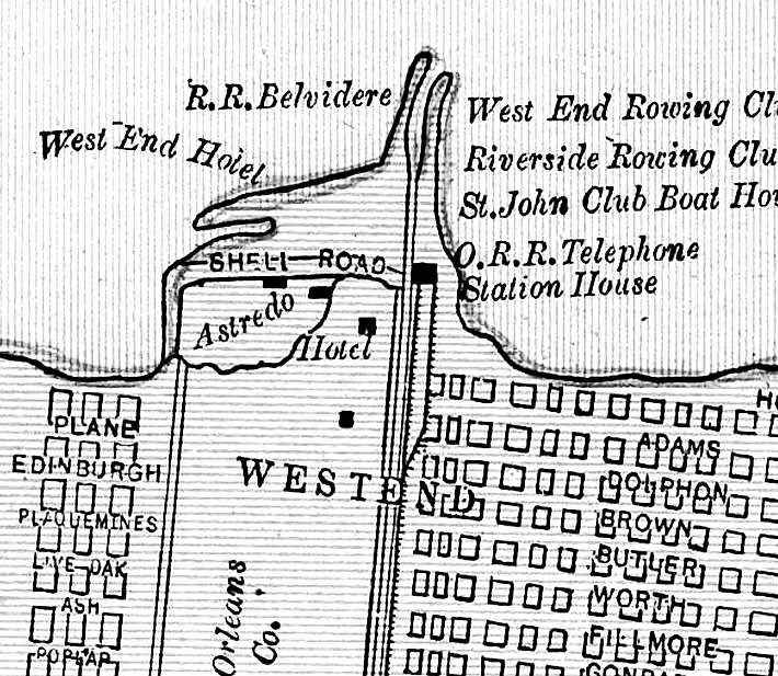
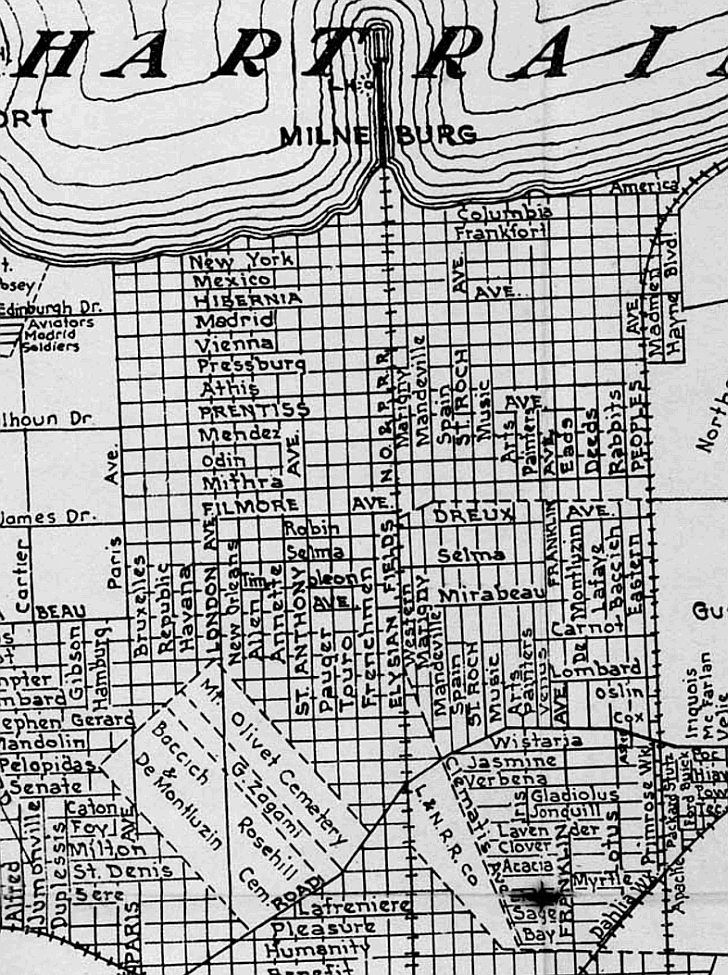
from West End to just east of the Industrial Canal left the Spanish Fort and Milneburg attractions a half mile or so offshore.
Milneburg camps were demolished. Some were moved by their owners to N.O. East along Hayne Boulevard and to Little Woods. Reclaimed
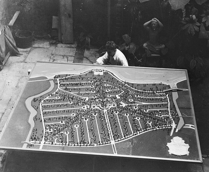
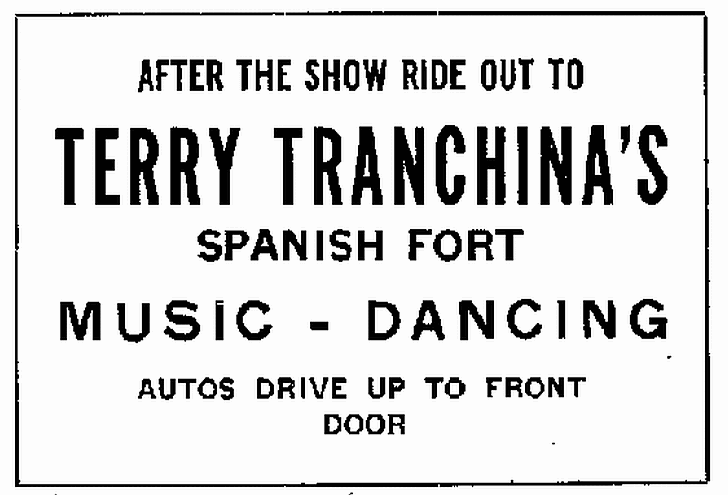
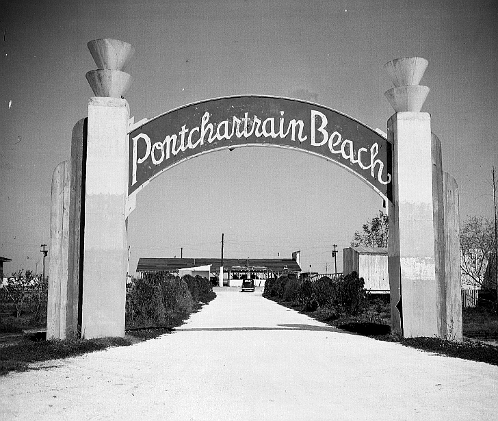
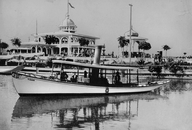
land fronting Milneburg became the Lake Terrace and Lake Oaks subdivisions. The Spanish Fort amusement area closed
in 1926. The Southern Regional Research Laboratory now abuts what was the old Spanish Fort resort property. Before the reclamation
the lakeshore reached approximately to what is now Robert E. Lee Boulevard, which was then named Adams Avenue. When
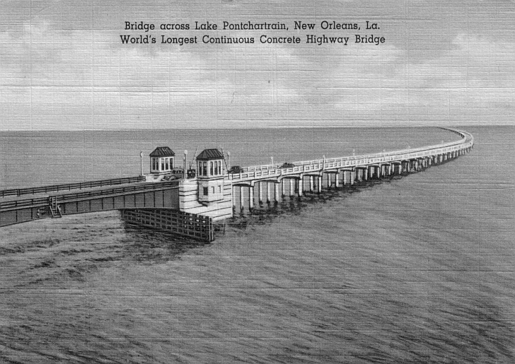
the “Five Mile Bridge” (also known as the Pointe Aux Herbes and the Maestri Bridge) was completed in 1928, it
was considered to be the "World's Longest Continuous Concrete Highway Bridge". The claim as “world’s
longest” would later be made by The Causeway – first when the original bridge opened and later when the second
span was added. In 1931 the Corps of Engineers designed and opened the Bonnet Carre Spillway, allowing
waters to flow from the Mississippi River to the lake when high tides from the river threaten to flood New Orleans. It is
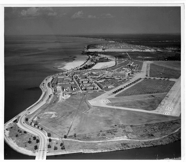
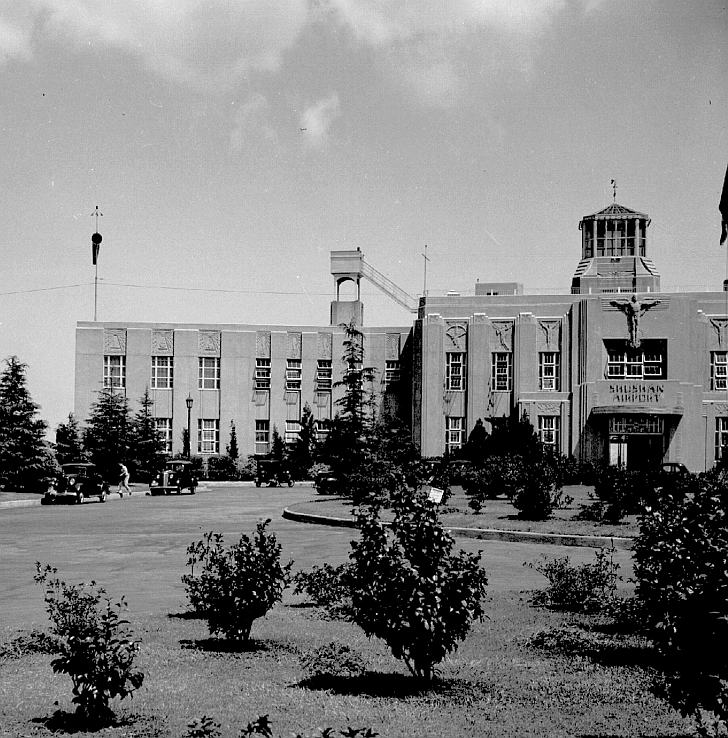
located on the southern shore, west of New Orleans. The spillway was first opened in 1937. The Shushan Airport
(now Lake Front Airport) named for the Orleans Levee Board President Abraham Lazar Shushan opened in 1934 as one of the premier
airports in the United States. Built on reclaimed land, it is located on the lakeshore near Hayne Boulevard and Downman Road.
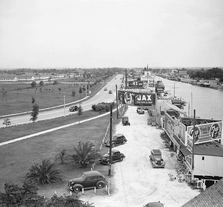
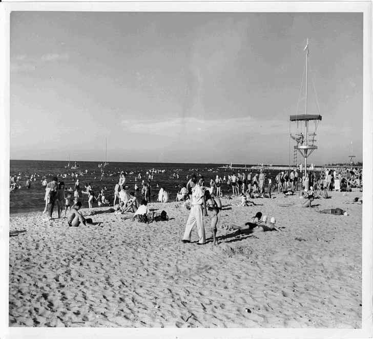
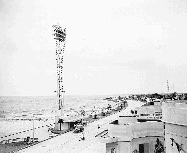
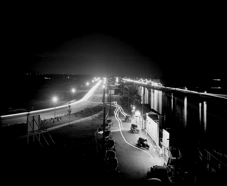
By 1937 the New Orleans Lakeshore Drive had been coined the "Great White Way". It was said
to have one of the finest lighting systems in the South. While the massive reclamation project was taking place on the New
Orleans shore, across the lake in Mandeville the WPA had plans to “beautify” the northern shore as well. A seawall
was completed there in 1938.
|
Excerpts from New Orleans City Park (Images of America)
|
|||||||||||||||||||||||||||||||||||||||||||||||||||||||||||||||||||
|
|
|||||||||||||||||||||||||||||||||||||||||||||||||||||||||||||||||||||